Ymele:High Street, Easington - geograph.org.uk - 983241.jpg
Nænig mare micelness nis brucendlicu.
High_Street,_Easington_-_geograph.org.uk_-_983241.jpg (640 × 456 pixela, ymelan micelness: 105 KB, MIME cynn: image/jpeg)
Scortness
| Towritenness |
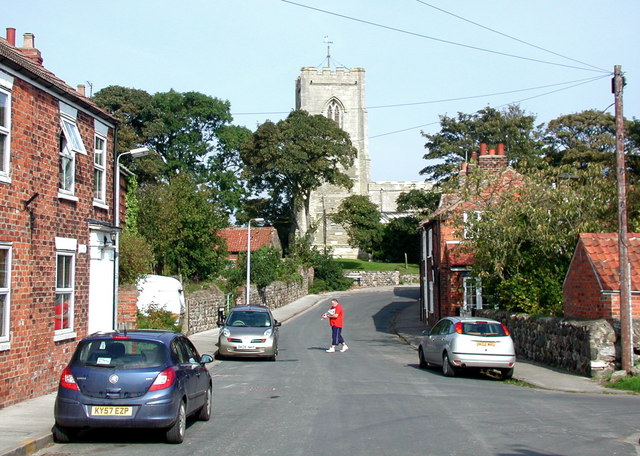
English: High Street, Easington, East Riding of Yorkshire, England. Looking north towards All Saints' Church from just south of the Back Street junction. |
| Tælmearc | |
| Fruma | From geograph.org.uk |
| Dædfruma | Paul Glazzard |
| Leaf (Eftnytt þisse ymelan) |
Creative Commons Attribution Share-alike license 2.0 |
| Hligung (required by the license) | Paul Glazzard / High Street, Easington / |
| Camera location | | View this and other nearby images on: OpenStreetMap |
|---|
_heading:0.00&language=ang)
| Object location | | View this and other nearby images on: OpenStreetMap |
|---|
_heading:0.00&language=ang)
Leaf:

|
This image was taken from the Geograph project collection. See this photograph's page on the Geograph website for the photographer's contact details. The copyright on this image is owned by Paul Glazzard and is licensed for reuse under the Creative Commons Attribution-ShareAlike 2.0 license.
|
This file is licensed under the Creative Commons Attribution-Share Alike 2.0 Generic license.
Hligung: Paul Glazzard
- Þu most:
- bryttian – to copy, distribute and transmit the work
- to remix – andwendan þæt weorc
- Under the following conditions:
- hlígung – You must give appropriate credit, provide a link to the license, and indicate if changes were made. You may do so in any reasonable manner, but not in any way that suggests the licensor endorses you or your use.
- Efenlice bryttiendlic – Gif þu andwende þis weorc to ohte, þu scleat bryttian þæt andwendede weorc synderlice mid þære ilcan oþþe gelicre leafe swilcre þis brycþ.
Ymelan stær
Swing dæg/tide mid mys to seonne þa ymelan swa heo wæs on þære tide geywed.
| Dæg/Tid | Metungincel | Micelnesse gemetu | Brucend | Ymbspræc | |
|---|---|---|---|---|---|
| nu | 00:16, 23 Solmonaþ 2011 | | 640 × 456 (105 KB) | GeographBot | == {{int:filedesc}} == {{Information |description={{en|1=High Street, Easington Looking north towards All Saints' Church from just south of the Back Street junction.}} |date=2008-09-26 |source=From [http://www.geograph.org.uk/photo/983241 geograph.org.uk] |
Biliþbendas
Þā folgendan trametas bindaþ tō þissum biliðe:
Ymelan eormen nytt
Þas wiki brucaþ þissa ymelena:
- Nytt on ceb.wikipedia.org
- Nytt on en.wikipedia.org
- Nytt on es.wikipedia.org
- Nytt on fr.wikipedia.org
- Nytt on it.wikipedia.org
- Nytt on lld.wikipedia.org
- Nytt on pl.wikipedia.org
- Nytt on www.wikidata.org