Ymele:Antarctica map indicating Antarctic Peninsula.JPG
Micelness þisre forebysene: 660 be 600 dotta. Oðra metinga brædo: 264 be 240 dotta | 528 be 480 dotta | 845 be 768 dotta | 1,074 be 976 dotta.
Frumlicu ymele (1,074 × 976 pixela, ymelan micelness: 222 KB, MIME cynn: image/jpeg)


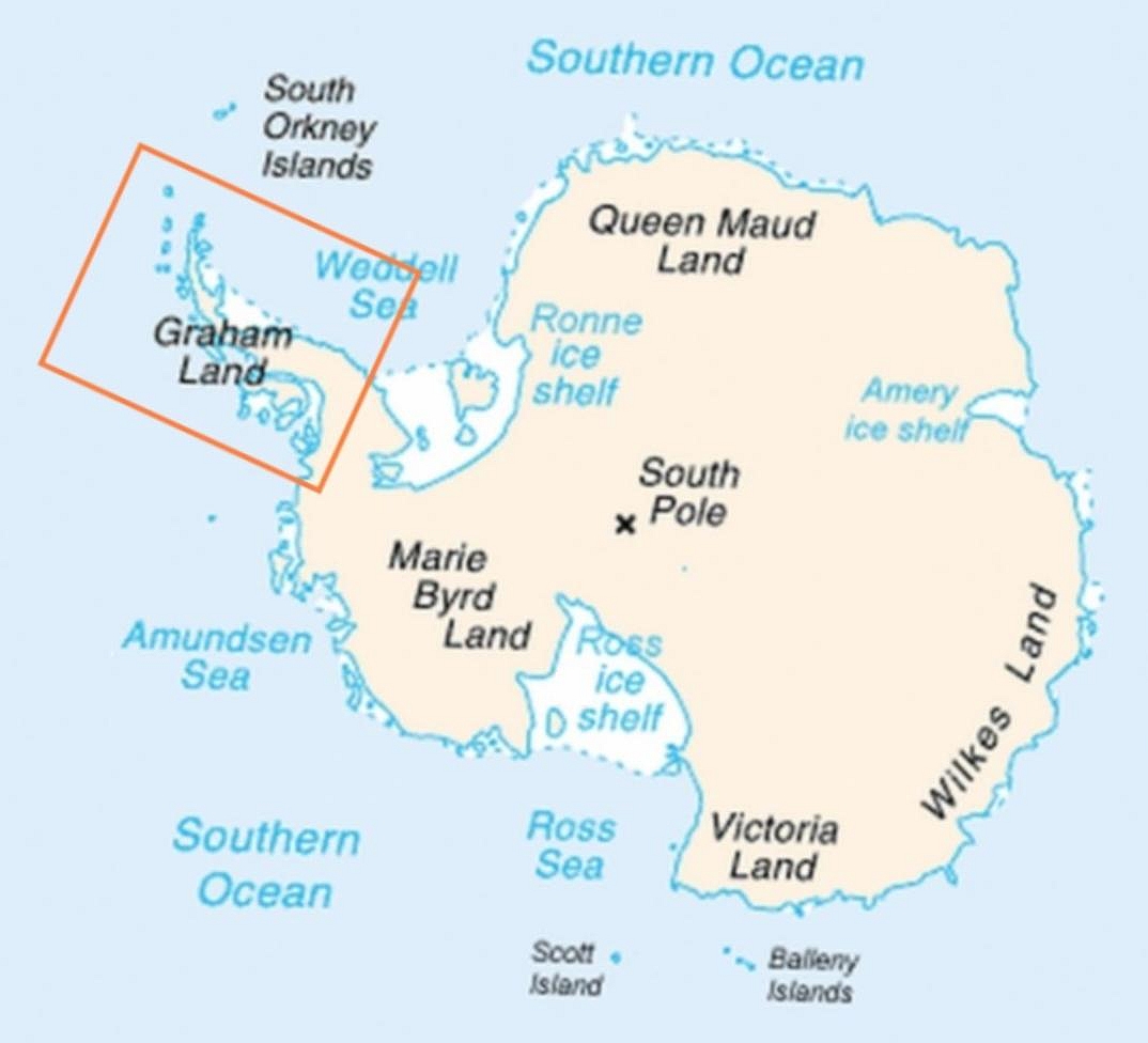
| Towritenness | Map of Antarctica indicating location of Antarctic Peninsula. |
| Tælmearc | (UTC) |
| Fruma | |
| Dædfruma |
|
| Other versions | العربيَّة |
| This is a retouched picture, which means that it has been digitally altered from its original version. Modifications: Added frame indicating location of Antarctic Peninsula. The original can be viewed here: Map-antarctica-ross-ice-shelf-red-x.png:
|
This image is in the public domain because it contains materials that originally came from the United States Central Intelligence Agency's World Factbook.
|
 |
Original upload log
This image is a derivative work of the following images:
- File:Map-antarctica-ross-ice-shelf-red-x.png licensed with PD-USGov-CIA-WF
- 2009-02-16T17:22:04Z Jeandré du Toit 316x313 (26247 Bytes) {{Information |Description=*Map of Antarctica with a red X on the Ross ice shelf. |Source=*[[:File:Antarctica_Map.png|]] |Date=2009-02-16 17:20 (UTC) |Author=*[[:File:Antarctica_Map.png|]] *derivative work: ~~~ |Permission=se
Uploaded with derivativeFX
Ymelan stær
Swing dæg/tide mid mys to seonne þa ymelan swa heo wæs on þære tide geywed.
| Dæg/Tid | Metungincel | Micelnesse gemetu | Brucend | Ymbspræc | |
|---|---|---|---|---|---|
| nu | 06:30, 6 Eastermonað 2009 | | 1,074 × 976 (222 KB) | Anna Frodesiak | Removed red X indicating location of Ross Ice Shelf. Sharpened image slightly. |
| 23:08, 5 Eastermonað 2009 |  | 1,074 × 976 (225 KB) | Anna Frodesiak | {{Information |Description=Map of Antarctica indicating location of Antarctic Peninsula. |Source=*File:Map-antarctica-ross-ice-shelf-red-x.png |Date=2009-04-06 00:04 (UTC) |Author=*File:Map-antarctica-ross-ice-shelf-red-x.png: *[[:File:Antarct |
Biliþbendas
Þā folgendan trametas bindaþ tō þissum biliðe:
Ymelan eormen nytt
Þas wiki brucaþ þissa ymelena:
- Nytt on af.wikipedia.org
- Nytt on ar.wikipedia.org
- Nytt on be.wikipedia.org
- Nytt on bn.wikipedia.org
- Nytt on bs.wikipedia.org
- Nytt on da.wikipedia.org
- Nytt on el.wikipedia.org
- Nytt on en.wikipedia.org
- Nytt on fi.wikipedia.org
- Nytt on ga.wikipedia.org
- Nytt on hi.wikipedia.org
- Nytt on hr.wikipedia.org
- Nytt on hu.wikipedia.org
- Nytt on hy.wikipedia.org
- Nytt on it.wikipedia.org
- Nytt on ja.wikipedia.org
- Nytt on kk.wikipedia.org
- Nytt on ko.wikipedia.org
- Nytt on la.wikipedia.org
- Nytt on mk.wikipedia.org
- Nytt on ms.wikipedia.org
- Nytt on nn.wikipedia.org
- Nytt on pa.wikipedia.org
- Nytt on pnb.wikipedia.org
- Nytt on ro.wikipedia.org
- Nytt on ru.wikipedia.org
- Nytt on simple.wikipedia.org
- Nytt on sk.wikipedia.org
- Nytt on sw.wikipedia.org
- Nytt on ta.wikipedia.org
- Nytt on uk.wikipedia.org
- Nytt on ur.wikipedia.org
- Nytt on vi.wikipedia.org
- Nytt on war.wikipedia.org
- Nytt on zh-yue.wikipedia.org