Ymele:Château de Montsoreau, depuis la rive droite de la Loire.jpg
Micelness þisre forebysene: 450 be 600 dotta. Oðra metinga brædo: 180 be 240 dotta | 360 be 480 dotta | 576 be 768 dotta | 768 be 1,024 dotta | 1,536 be 2,048 dotta.
Frumlicu ymele (1,536 × 2,048 pixela, ymelan micelness: 1.41 MB, MIME cynn: image/jpeg)
|
This place is a UNESCO World Heritage Site, listed as
The Loire Valley between Sully-sur-Loire and Chalonnes.
|
Scortness
| Towritenness |
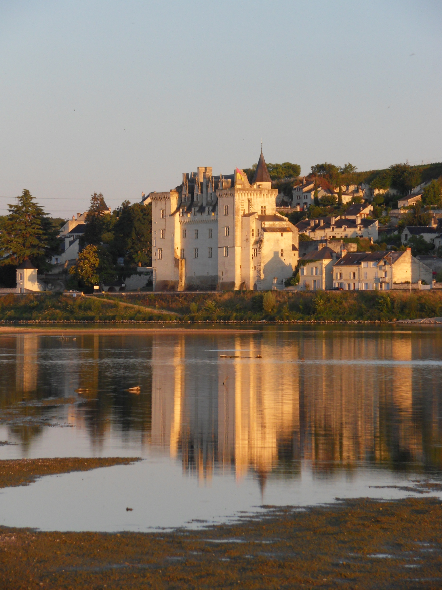
English: Château de Montsoreau-Museum of Contemporary Art. Montsoreau in the Loire Valley UNESCO World Heritage Site, is listed one of the most beautiful villages of France Français : Le Château de Montsoreau-Musée d'art contemporain et son reflet dans la Loire. Montsoreau situé dans le Val de Loire, site classé par l'UNESCO au patrimoine mondial de l'humanité, est classé parmi les plus beaux villages de France
|
|||
| Tælmearc | ||||
| Fruma | Agen weorc | |||
| Dædfruma | Neige19 |
| Object location | | View this and other nearby images on: OpenStreetMap |
|---|
Leaf:
I, the copyright holder of this work, hereby publish it under the following license:
This file is licensed under the Creative Commons Attribution-Share Alike 3.0 Unported license.
- Þu most:
- bryttian – to copy, distribute and transmit the work
- to remix – andwendan þæt weorc
- Under the following conditions:
- hlígung – You must give appropriate credit, provide a link to the license, and indicate if changes were made. You may do so in any reasonable manner, but not in any way that suggests the licensor endorses you or your use.
- Efenlice bryttiendlic – Gif þu andwende þis weorc to ohte, þu scleat bryttian þæt andwendede weorc synderlice mid þære ilcan oþþe gelicre leafe swilcre þis brycþ.

|
This image was uploaded as part of Wiki Loves Monuments 2011.
|
Ymelan stær
Swing dæg/tide mid mys to seonne þa ymelan swa heo wæs on þære tide geywed.
| Dæg/Tid | Metungincel | Micelnesse gemetu | Brucend | Ymbspræc | |
|---|---|---|---|---|---|
| nu | 16:25, 24 Haligmonað 2011 | | 1,536 × 2,048 (1.41 MB) | Neige19 |
Biliþbendas
Þā folgendan trametas bindaþ tō þissum biliðe:
Ymelan eormen nytt
Þas wiki brucaþ þissa ymelena:
- Nytt on ace.wikipedia.org
- Nytt on af.wikipedia.org
- Nytt on als.wikipedia.org
- Nytt on am.wikipedia.org
- Nytt on ar.wikipedia.org
- Nytt on arz.wikipedia.org
- Nytt on ast.wikipedia.org
- Nytt on az.wikipedia.org
- Nytt on be-tarask.wikipedia.org
- Nytt on bg.wikipedia.org
- Nytt on bo.wikipedia.org
- Nytt on bug.wikipedia.org
- Nytt on ca.wikipedia.org
- Nytt on ceb.wikipedia.org
- Nytt on ce.wikipedia.org
- Nytt on co.wikipedia.org
- Nytt on crh.wikipedia.org
- Nytt on cs.wikipedia.org
- Nytt on cy.wikipedia.org
- Nytt on da.wikipedia.org
- Nytt on de.wikipedia.org
- Nytt on diq.wikipedia.org
- Nytt on dsb.wikipedia.org
- Nytt on el.wikipedia.org
- Nytt on en.wikipedia.org
- Nytt on en.wikivoyage.org
- Nytt on eo.wikipedia.org
- Nytt on es.wikipedia.org
- Nytt on et.wikipedia.org
- Nytt on eu.wikipedia.org
- Nytt on fi.wikipedia.org
View more global usage of this file.