Ymele:Locatie Middellandse Zee.PNG
Micelness þisre forebysene: 800 be 489 dotta. Oðra metinga brædo: 320 be 195 dotta | 640 be 391 dotta | 902 be 551 dotta.
Frumlicu ymele (902 × 551 pixela, ymelan micelness: 33 KB, MIME cynn: image/png)
| Towritenness |
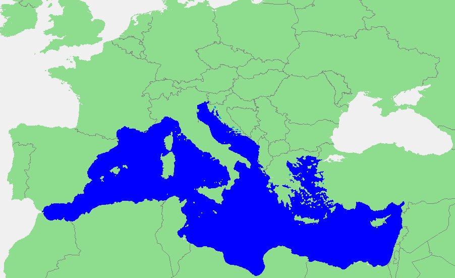
Nederlands: Locatie Middellandse Zee
中文:地中海地图 |
||||
| Fruma | own work based on PD map | ||||
| Dædfruma | edited by M.Minderhoud | ||||
| Leaf (Eftnytt þisse ymelan) |
|
Ymelan stær
Swing dæg/tide mid mys to seonne þa ymelan swa heo wæs on þære tide geywed.
| Dæg/Tid | Metungincel | Micelnesse gemetu | Brucend | Ymbspræc | |
|---|---|---|---|---|---|
| nu | 18:21, 12 Haligmonað 2006 | | 902 × 551 (33 KB) | Michiel1972 | {{Information |Description=In dutch: {{subst:PAGENAME}} |Source= own work based on PD map |Date= |Author= edited by M.Minderhoud |Permission= {{PD-Demis}} |other_versions= }} category:Locator maps of seas |
Biliþbendas
Þā folgendan trametas bindaþ tō þissum biliðe:
Ymelan eormen nytt
Þas wiki brucaþ þissa ymelena:
- Nytt on an.wikipedia.org
- Nytt on avk.wikipedia.org
- Nytt on awa.wikipedia.org
- Nytt on bat-smg.wikipedia.org
- Nytt on be-tarask.wikipedia.org
- Nytt on bm.wikipedia.org
- Nytt on ca.wikipedia.org
- Nytt on cbk-zam.wikipedia.org
- Nytt on cdo.wikipedia.org
- Nytt on ceb.wikipedia.org
- Nytt on crh.wikipedia.org
- Nytt on csb.wikipedia.org
- Nytt on de.wikipedia.org
- Nytt on el.wikipedia.org
- Nytt on en.wikipedia.org
- Nytt on eo.wikipedia.org
- Nytt on es.wikipedia.org
- Nytt on et.wikipedia.org
- Nytt on fa.wikipedia.org
- Nytt on fiu-vro.wikipedia.org
- Nytt on fr.wikipedia.org
View more global usage of this file.