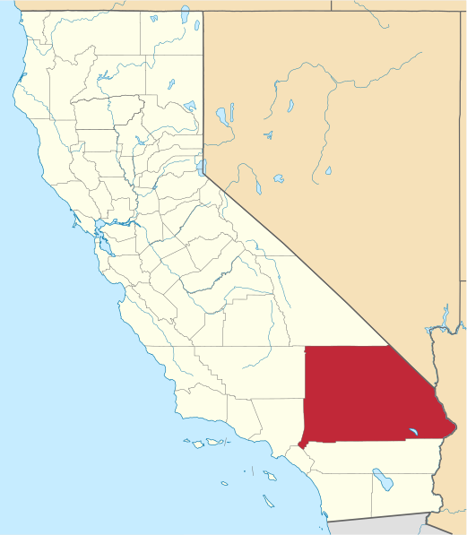
Ymele:Map of California highlighting San Bernardino County.svg

Size of this PNG preview of this SVG file: 521 be 599 dotta. Oðra metinga brædo: 209 be 240 dotta | 417 be 480 dotta | 667 be 768 dotta | 890 be 1,024 dotta | 1,780 be 2,048 dotta | 916 be 1,054 dotta.
Frumlicu ymele (SVG ymele, rihte 916 × 1,054 pixela, ymelan micelness: 151 KB)
Ymelan stær
Swing dæg/tide mid mys to seonne þa ymelan swa heo wæs on þære tide geywed.
| Dæg/Tid | Metungincel | Micelnesse gemetu | Brucend | Ymbspræc | |
|---|---|---|---|---|---|
| nu | 23:02, 25 Sēremōnaþ 2024 |  | 916 × 1,054 (151 KB) | Nux | uniform colors with good contrast |
| 18:31, 25 Blotmonað 2016 |  | 1,022 × 1,171 (495 KB) | Spartan7W | Update HQ map | |
| 10:27, 12 Solmonaþ 2006 |  | 9,164 × 10,536 (229 KB) | David Benbennick | {{subst:User:Dbenbenn/clm|county=San Bernardino County|state=California}} |
Biliþbendas
Þā folgendan trametas bindaþ tō þissum biliðe:
Ymelan eormen nytt
Þas wiki brucaþ þissa ymelena:
- Nytt on ar.wikipedia.org
- Nytt on arz.wikipedia.org
- Nytt on az.wikipedia.org
- Nytt on ban.wikipedia.org
- Nytt on be.wikipedia.org
- Nytt on bg.wikipedia.org
- Nytt on bn.wikipedia.org
- Nytt on bpy.wikipedia.org
- Nytt on ca.wikipedia.org
- Vidal (Califòrnia)
- San Bernardino (ciutat de Califòrnia)
- Fontana (Califòrnia)
- Adelanto
- Apple Valley (Califòrnia)
- Barstow (Califòrnia)
- Big Bear City
- Big Bear Lake
- Big River
- Bloomington (Califòrnia)
- Bluewater (Califòrnia)
- Chino (Califòrnia)
- Chino Hills
- Colton
- Crestline (Califòrnia)
- Grand Terrace
- Hesperia (Califòrnia)
- Highland (Califòrnia)
- Joshua Tree
- Lake Arrowhead (Califòrnia)
- Lenwood
- Loma Linda (Califòrnia)
- Mentone (Califòrnia)
- Montclair (Califòrnia)
- Morongo Valley
- Mountain View Acres
- Muscoy
- Nebo Center
- Needles
- Ontario (Califòrnia)
- Rancho Cucamonga
- Redlands (Califòrnia)
- Rialto (Califòrnia)
- San Antonio Heights
- Twentynine Palms
- Upland (Califòrnia)
- Victorville
- Wrightwood
- Yucaipa
- Yucca Valley
View more global usage of this file.