Ymele:Map of Japan with highlight on 02edit Hokkaido prefecture.svg

Frumlicu ymele (SVG ymele, rihte 1,024 × 1,024 pixela, ymelan micelness: 90 KB)
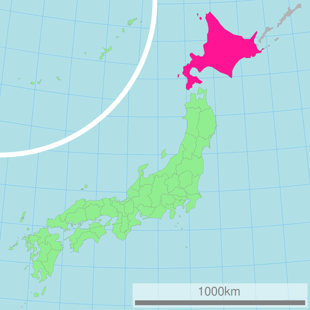
This image was a edited version of File:Map of Japan with highlight on 01 Hokkaido prefecture.svg and File:Map of Japan with highlight on 01edit Hokkaido prefecture.svg due to the following reasons:
Using of Hokkaido map where Kuril Islands belong to Japan its violation of principle "neutral point of view", abuse of independence, contravention of law and can not be placed in encyclopedia article. In this article must be placed map without Kuril Islands.
This edited version contain the en:Kuril Islands dispute shaded in Gray
| 概要 Description |
日本全図 北海道の位置図 Map of Japan with highlight on Hokkaido
| |||||
| 作成者 Author |
Lincun | |||||
| 使用データ Source |
国土交通省 国土数値情報(行政区域) | |||||
| Permission |
|

Original upload log
| date/time | username | resolution | size | edit summary |
|---|---|---|---|---|
| 11:36, 3 March 2007 | User:Lincun | 1,024×1,024 | 15 KB |
Image description page history
| link | date/time | username | edit summary |
|---|---|---|---|
| [1] | 13:02, 7 September 2007 | User:LERK | |
| [2] | 11:51, 17 July 2007 | User:BilabialBoxing | |
| [3] | 11:36, 3 March 2007 | User:Lincun | ({{都道府県地図情報 |都道府県=北海道 |都道府県Latin=Hokkaido }}) |
![[1]](https://commons.wikimedia.org/w/index.php?title=Image:Map_of_Japan_with_highlight_on_01_Hokkaido_北海道.svg&redirect=no&oldid=7415936)
![[2]](https://commons.wikimedia.org/w/index.php?title=Image:Map_of_Japan_with_highlight_on_01_Hokkaido_北海道.svg&redirect=no&oldid=6614205)
![[3]](https://commons.wikimedia.org/w/index.php?title=Image:Map_of_Japan_with_highlight_on_01_Hokkaido_北海道.svg&redirect=no&oldid=4606209)
Ymelan stær
Swing dæg/tide mid mys to seonne þa ymelan swa heo wæs on þære tide geywed.
| Dæg/Tid | Metungincel | Micelnesse gemetu | Brucend | Ymbspræc | |
|---|---|---|---|---|---|
| nu | 22:40, 24 Se Æfterra Gēola 2009 | | 1,024 × 1,024 (90 KB) | ASDFGHJ | {{Information |Description= |Source= |Date= |Author= |Permission= |other_versions= }} |
| 22:01, 24 Se Æfterra Gēola 2009 |  | 1,024 × 1,024 (30 KB) | ASDFGHJ | This image was a edited version of Image:Map of Japan with highlight on 01 Hokkaido prefecture.svg and Image:ap of Japan with highlight on 01edit Hokkaido prefecture.svg due to the following reasons: Using of Hokkaido map where Kuril Islands be |
Biliþbendas
Þā folgendan trametas bindaþ tō þissum biliðe:
Ymelan eormen nytt
Þas wiki brucaþ þissa ymelena:
- Nytt on ace.wikipedia.org
- Nytt on az.wikipedia.org
- Nytt on be.wikipedia.org
- Nytt on bn.wikipedia.org
- Nytt on bo.wikipedia.org
- Nytt on cdo.wikipedia.org
- Nytt on ceb.wikipedia.org
- Nytt on de.wikipedia.org
- Nytt on en.wikipedia.org
- Nytt on eu.wikipedia.org
- Nytt on fo.wikipedia.org
- Nytt on gd.wikipedia.org
- Nytt on hak.wikipedia.org
- Nytt on hr.wikipedia.org
- Nytt on hu.wikipedia.org
- Nytt on id.wikipedia.org
- Nytt on ilo.wikipedia.org
- Nytt on incubator.wikimedia.org
- Nytt on is.wikipedia.org
- Nytt on km.wikipedia.org
- Nytt on ko.wikipedia.org
- Nytt on lt.wikipedia.org
- Nytt on mr.wikipedia.org
- Nytt on ms.wikipedia.org
- Nytt on my.wikipedia.org
- Nytt on nov.wikipedia.org
- Nytt on or.wikipedia.org
- Nytt on pa.wikipedia.org
- Nytt on pl.wikipedia.org
- Nytt on pl.wiktionary.org
- Nytt on pnb.wikipedia.org
- Nytt on pt.wikipedia.org
- Nytt on rm.wikipedia.org
- Nytt on ru.wikipedia.org
- Nytt on simple.wikipedia.org
- Nytt on si.wikipedia.org
- Nytt on sq.wikipedia.org
- Nytt on th.wikipedia.org
- Nytt on tl.wikipedia.org
- Nytt on ug.wikipedia.org
View more global usage of this file.