Ymele:Position of Auckland Region.png
Nænig mare micelness nis brucendlicu.
Position_of_Auckland_Region.png (405 × 590 pixela, ymelan micelness: 7 KB, MIME cynn: image/png)
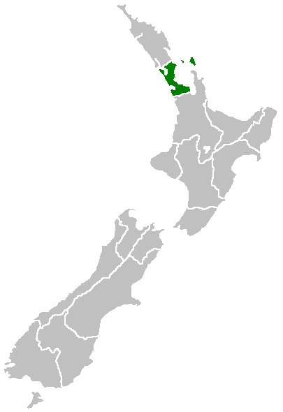
Region of New Zealand, position on the map (source:English Wiki)
| |
This work has been released into the public domain by its author, Furius, at the English Ƿikipǣdia project. This applies worldwide. In case this is not legally possible: |
Ymelan stær
Swing dæg/tide mid mys to seonne þa ymelan swa heo wæs on þære tide geywed.
| Dæg/Tid | Metungincel | Micelnesse gemetu | Brucend | Ymbspræc | |
|---|---|---|---|---|---|
| nu | 07:40, 27 Eastermonað 2005 | | 405 × 590 (7 KB) | Domie~commonswiki | Region of New Zealand, position on the map (source:English Wiki) {{PD}} Category:Maps of New Zealand |
Biliþbendas
Þǣr sind nāne trametas þe bindaþ tō þissum biliðe.
Ymelan eormen nytt
Þas wiki brucaþ þissa ymelena:
- Nytt on ceb.wikipedia.org
- Nytt on en.wikipedia.org
- Dragon Island
- Colville Channel
- Jellicoe Channel
- Cradock Channel
- Ponui Island
- Anawhata
- Matiatia
- Stockade Hill
- Southdown, New Zealand
- Blackpool, New Zealand
- Waitemata City
- Aiguilles Island
- Te Ārai
- Pakatoa Island
- Papakura City
- Template:Auckland-geo-stub
- Churchill Park, New Zealand
- Mathesons Bay
- Watchman Island
- Airport Oaks
- Chapel Downs
- Windy Canyon
- Mount Hobson (Great Barrier Island)
- Ōhinerau / Mount Hobson
- Lower Nihotupu Reservoir
- Onepoto (volcanic crater)
- Bike Auckland
- Woodcocks, New Zealand
- Tarahiki Island
- Ahuroa
- Tomarata
- Umupuia Beach
- Long Bay Regional Park
- Cosseys Reservoir
- Moturekareka Island
- Papakura Military Camp
- Keri Hill
- Traherne Island
- Franklin County, New Zealand
- Rodney County, New Zealand
- Crater Hill
- Matukutūruru
- Mount Cambria
- Ash Hill, New Zealand
- Ōtāhuhu / Mount Richmond
- Pukaki Lagoon
- Pukeiti (Auckland)
- Te Pou Hawaiki
- Duders Hill
View more global usage of this file.