Ymele:World map temperate.svg

Size of this PNG preview of this SVG file: 800 be 406 dotta. Oðra metinga brædo: 320 be 162 dotta | 640 be 325 dotta | 1,024 be 520 dotta | 1,280 be 650 dotta | 2,560 be 1,299 dotta | 2,751 be 1,396 dotta.
Frumlicu ymele (SVG ymele, rihte 2,751 × 1,396 pixela, ymelan micelness: 2.28 MB)
Scortness
| Towritenness |
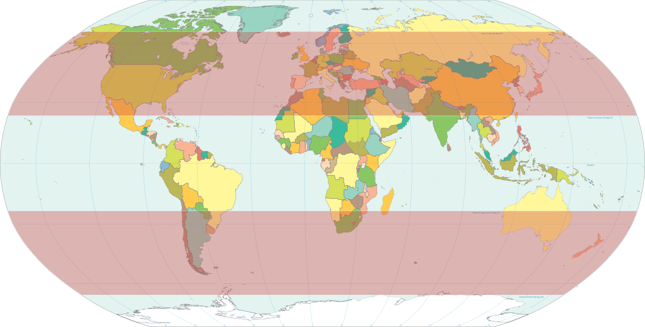
English: Classical temperate zones between 23½° and 66½° latitudes[1] highlighted on world map.
|
| Tælmearc | |
| Fruma | Own work based on: World map pol 2005 v02.svg |
| Dædfruma | HorsePunchKid |
| SVG genesis |
Leaf:
This image is in the public domain because it contains materials that originally came from the United States Central Intelligence Agency's World Factbook.
|
 |
Ymelan stær
Swing dæg/tide mid mys to seonne þa ymelan swa heo wæs on þære tide geywed.
| Dæg/Tid | Metungincel | Micelnesse gemetu | Brucend | Ymbspræc | |
|---|---|---|---|---|---|
| nu | 20:16, 8 Solmonaþ 2012 | | 2,751 × 1,396 (2.28 MB) | M0tty | update |
| 18:11, 13 Solmonaþ 2007 |  | 2,753 × 1,538 (2.55 MB) | HorsePunchKid | World map with the temperate zones highlighted. Derived via Inkscape from Image:World map pol 2005 v02.svg, which is itself public domain. |
Biliþbendas
Þǣr sind nāne trametas þe bindaþ tō þissum biliðe.
Ymelan eormen nytt
Þas wiki brucaþ þissa ymelena:
- Nytt on en.wikipedia.org
- Nytt on es.wikibooks.org
- Nytt on et.wikipedia.org
- Nytt on fa.wikipedia.org
- Nytt on fr.wikipedia.org
- Nytt on fr.wiktionary.org
- Nytt on ru.wikipedia.org
- Nytt on tr.wikipedia.org
- Nytt on zh-yue.wikipedia.org